UN
5 Hilltop
£ 250,000
Description
We don't have a Description for this property.
- Bedrooms
- 4
- Bathrooms
- 0

Leaflet © OpenStreetMap contributors
The heatmap indicates the level of crime in the area. The color of the heatmap indicates the crime severity and recency.
Metrics Year-on-Year
- Average area value
- 344,938.00 £Increased by 18.39 %
- Average area rental value
- 938.00 £/moDecreased by 1.78 %
- Est rental Yield
- 3.26 %Decreased by 17.05 %
- Crime Rate
- 0.00 %
from 291,367.00 £
from 955.00 £/mo
from 3.93 %
from 0.00 %
Nearby Schools
| Name | Type | Ofsted | Distance |
|---|---|---|---|
| Rowan Tree Primary School | Community Special School | Outstanding | 0.22 KM |
| St Philip'S Cofe Primary School, Atherton | Voluntary Aided School | Outstanding | 1.09 KM |
| Chowbent Primary School | Voluntary Controlled School | Good | 1.25 KM |
| St Andrew'S Cofe Primary School, Over Hulton | Voluntary Aided School | Good | 1.52 KM |
| Progress Schools - Lilford Centre | Other Independent School | 1.69 KM |
Images
Nearby Streets
| Name | Average Price | Average Sqft | Distance |
|---|---|---|---|
| Hill Top | £ 550,000 | 0 | 0.00 KM |
| Low Green | £ 0 | 0 | 0.00 KM |
| The Close | £ 410,000 | 0 | 0.00 KM |
| Chiltern Avenue | £ 0 | 0 | 0.00 KM |
| Birch Road | £ 170,000 | 0 | 0.00 KM |
Nearby Transport
| Name | NLC | TLC | Distance |
|---|---|---|---|
| Atherton | 2584 | ATN | 0.70 KM |
| Hag Fold | 2585 | HGF | 2.27 KM |
| Daisy Hill | 2777 | DSY | 4.65 KM |
| Lostock | 2598 | LOT | 4.93 KM |
| Westhoughton | 2619 | WHG | 6.00 KM |
Nearby Listings
| Address | Price | Type | Score | Distance |
|---|---|---|---|---|
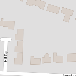
| Hilltop, Atherton | £ 550,000 | BUY | 7 / 10 | 0.01 KM |
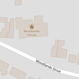
| Woodlands Drive, Atherton, Manchester | £ 650,000 | BUY | 8 / 10 | 0.05 KM |
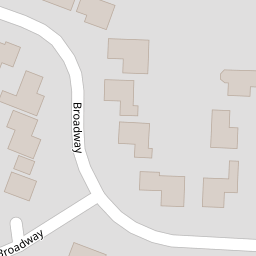
| Broadway, Atherton, Manchester | £ 550,000 | BUY | Unknown | 0.11 KM |
| Broadway, Atherton, M46 | £ 425,000 | BUY | 7 / 10 | 0.12 KM |
| Greenhall Close, Atherton, M46 | £ 325,000 | BUY | 7 / 10 | 0.12 KM |
Nearby Properties
| Address | Price | Distance |
|---|---|---|
| 6 Hilltop | £ 240,000 | 0.00 KM |
| 1 Hilltop | £ 475,000 | 0.00 KM |
| 5 Hilltop | £ 250,000 | 0.00 KM |
| 23 Broadway | £ 224,950 | 0.12 KM |
| 12 Broadway | £ 214,000 | 0.12 KM |